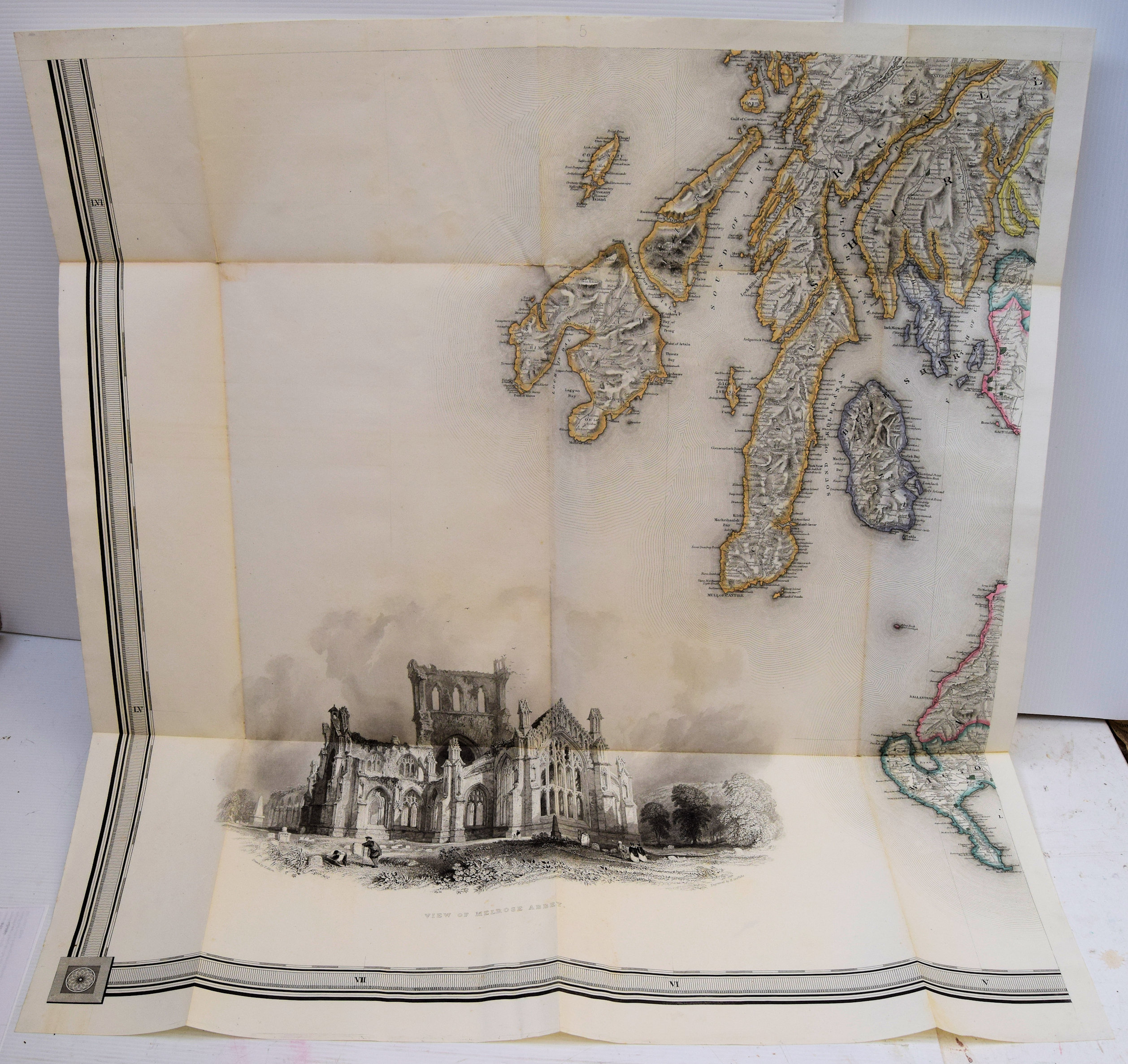
A Map Of Scotland Divided Into Counties Shewing The Principal Roads, Railways, Rivers, Canals, Lochs, Mountains, Islands, Etc..
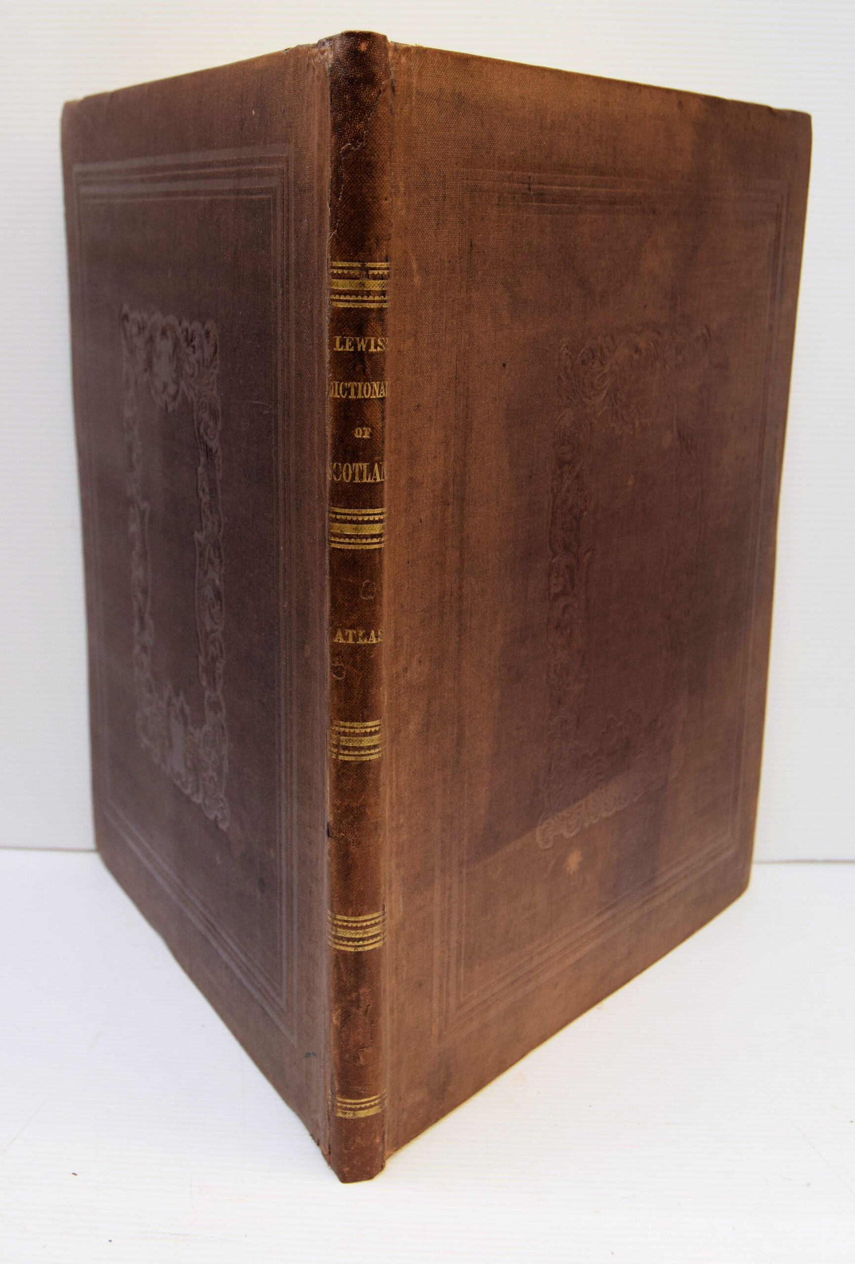
Bound in the original brown, blind-stamped, cloth with gilt titles to spine. Occasional split along folds otherwise a clean and well-preserved example.
£300.00
Publisher
S. Lewis and Co. 13, Finsbury Place, South, London.,
Place
London.
Date
1846
Synopsis
On a scale of five miles to an inch. drawn by f.a. carrington; the hills by g.w. carrington; engraved by i. dower; etched by t. harwood.
Item Description
Folio. Title, contents and 6 large folding maps on tabs, hand-coloured in outline, each 26 x 27 inches approximately.
Notes
This map was published as the supplementary volume to Lewis' Topographical Dictionary of Scotland. At the time the map was available as a separate item, as the individual sheets can be joined together to make a large wall map, complete with border. The map engravings are highly detailed and of excellent quality, and embellished with a large vignette of Melrose Abbey
[Stock No. 21545]


Subjects
19th Century • Folding Maps • Prints/Maps • Scotland • Scottish • Topography