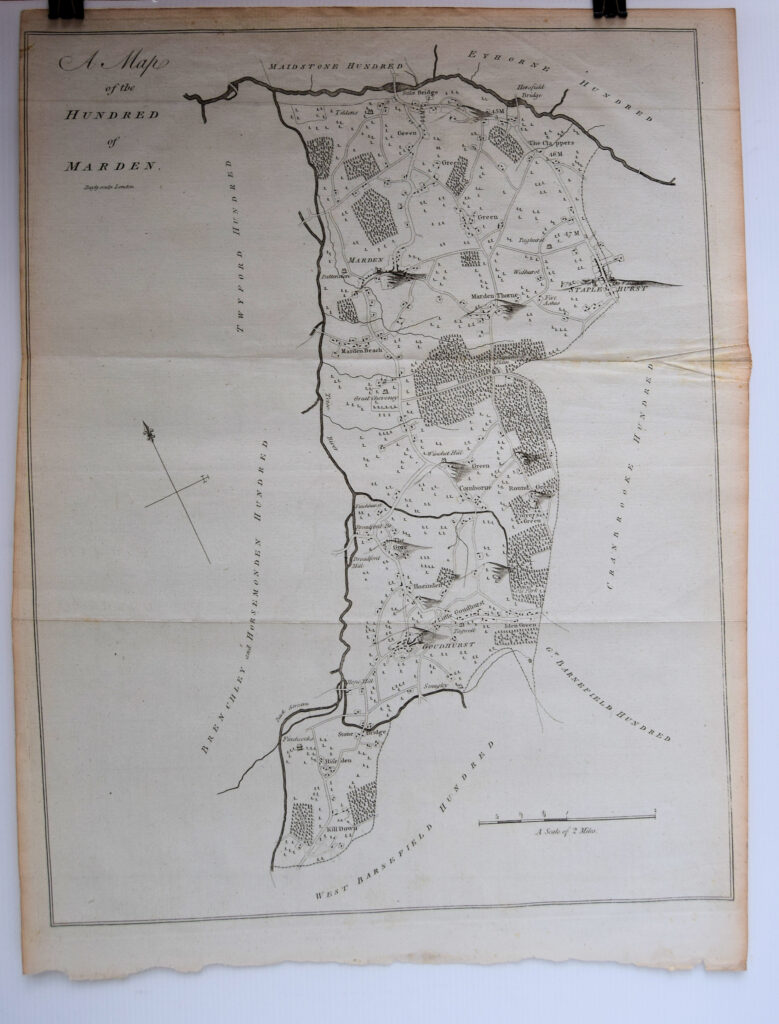
A Map Of The Hundred Of Marden..
Traces of old folds but a very good copy.
£75.00
Publisher
Canterbury. n.d. but,
Date
1790
Item Description
(engraved area 15 x 19 inches) with good margins. Scale 2 inches to one mile.
Notes
The sheet shows, a strip with Teise river forming the west border, with Stile Bridge in the North, Marden and Staplehurst central and further south Goudhurst and Killdown.
[Stock No. 18146]
Subjects
18th Century • Kent • Maps • Topography