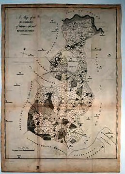
A Map Of The Hundreds Of Wingham And Kinghamford..
A very good copy.
£65.00
Publisher
Canterbury. n.d. but,
Date
1778-1801.
Item Description
Uncoloured copper-engraved map (engraved area 15 x 20 inches) with good margins. Scale 15 inches to one mile.
Notes
This sheet shows Ash and Wingham in the north, Goodneston and Nonington in the centre and Bishopsborne, Kingston and Barham in the south.
[Stock No. 10470]
Subjects
18th Century • Kent • Maps • Topography