Survey Of The Country Around London To The Distance Of Thirty-two Miles From St. Paul’s..
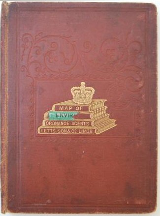
Preserved in the edgeworn original blind-embossed cloth-covered boards, Letts title vignette gilt with remains of paper label 'Envir[ons of London]. Letts labels to inside front board and map end fold, and bookplate of Col. Edwin Hughes, M.P. on pastedown label. Slight wear to linen at intersections but the map is in very good condition, with still-vibrant colour.
£300.00
Publisher
Rd. H. Laurie, No. 53 Fleet Street, London.,
Place
London.
Date
1879
Synopsis
[sold by letts].
Item Description
Large, hand-coloured folding map, dissected and laid on to linen, 30.5 X 23 inches, extending from Bray to Chatham and Ware to Dorking. The Laurie imprint to the lower margin has a printed paper label overlaying it reading 'Letts, Son & Co. Limited, London. Agents by Appointment for the Sale of Ordnance and Geological Survey Maps. General Mapsellers and Publishers.'
[Stock No. 21455]