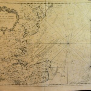
Sea Charts “AN ACTUAL SURVEY OF THE COAST OF KENT. FROM DIM CHURCH TO RYE HARBOUR, WITH THE NEW SHOAL WESTWARD OF DUNGENESS..” has been added to your basket. View basket VAN KEULEN, GERARD. {PUBLISHER).. A New Grad[u]ally Encreasing Compass-map Of The Coming In Of[full title…] c.1695. See full details Add to basket Traces of old fold otherwise the condition… £500.00 STEPHENSON, JOHN.. A Survey Of The East Swale From The Buoys Of[full title…] 1786 See full details Add to basket Hand coloured sea chart, originally folded in… £435.00 STEPHENSON, JOHN.. An Actual Survey Of The Coast Of Kent. From Dim[full title…] 1794 See full details Add to basket A very good clean example. £200.00 COLLINS, CAPT. GRENVILLE.. Burlington Bay, Scarbrough And Hartlepoole.. 1745 See full details Add to basket A little dusting, some mild offsetting AND… £250.00 BELLIN, S.. Carte Des EntrÉes De La Tamise. [chart Of The Thames[full title…] 1759 See full details Add to basket A good example of this attractive chart… £250.00 COLLINS, CAPT. GRENVILLE.. The Severn, Or Channel Of Bristol.. 1745 See full details Add to basket A marginal water stain and a little… £300.00